#5
Cantera
mrkswcz
Description
In aerial photos from 1945, you can see dozens of buildings crammed around the main street of Gallarta - a town 13 km northwest of Bilbao. The street leads to a small open pit where they extract iron. Images from 1956 and 1965 show how the road becomes shorter, and houses once surrounded by fields are now on the pit's edge. Some of them disappeared to facilitate access to the ore. The mine grew, consuming mountains, meadows, and settlements.
Gallarta disappeared in 1977, replaced by a chasm extending across the area until today. The open pit extraction in the mine stopped being profitable only six years later. The scar it left on the surface of the mountainous area is a monument to the disappearance of this and numerous other towns with similar stories.
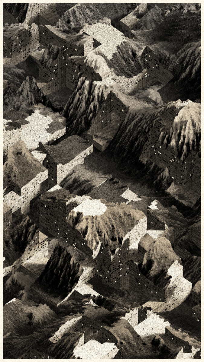
Cantera is a project that brings these stories to a non-physical, generative space. It replaces atoms of stone and soil with digital bits. It draws landscapes inspired by the imagery of Basque stone quarries and iron mines and writes narratives about non-existent habitats where the boundaries between extraction, shelter, and natural forms become indistinct.
Features
| Grid | Invisible |
| Palette | Cerro Rico |
| Terrain composition | Intertwined |
| View | 45 degrees |
Rarity
History
| Sent to | 0x807...f37 | 2023-04-08 |
| Sent to | 0x3Cb...F2D | 2023-04-07 |
| Sent to | 0xd01...e73 | 2023-04-07 |
| Minted by | 0x3Cb...F2D | 2023-04-06 |